
FRAMR. Directory & map editor for interactive projects
The Map Editor lets you create an interactive 3D-map of your building or location and with FRAMR. Directory, visitors can find their destination on their own — using search, touch and navigation — without having to ask staff for directions. Both features are included directly in your FRAMR. Cockpit JET license without the need for a separate purchase.
From map to signpost
The Map Editor creates layers, areas and landmarks for navigation. Directory is the FRAMR. module where all of this becomes visible and usable. Users who already utilize existing systems — such as a CMS, an ERP system or an event calendar — can import this data directly as an external data source.

Features at a glance
Automatically returns to its initial state after each use
Directory launches with a customizable start screen, such as an image, video, button or embedded playlist. After a configurable period of inactivity, Directory automatically returns to the start screen and resets all parameters to their default settings without requiring manual intervention.

Customizable navigation maps for businesses of all sizes
In the map editor, you can create as many levels as you like, each with its own layout, freely configurable areas, POIs and navigation routes. Directory automatically accounts for level changes during navigation and indicates, for example, elevators or escalators as soon as a destination is on a different level. The entire view can be displayed in either 2.5D or true 3D.

Routes with real-time waypoints
A network of waypoints in the map editor forms the basis for route calculation. Directory uses this network to generate real-time routes with turn-by-turn directions, estimated duration and distance, while the map automatically zooms in on the selected destination or current location. The route can be started from the current location (which is stored in the player) or from a freely selectable starting point on the map.

Accessible from the map to navigation
Waypoints can be marked in the map editor as non-accessible, as an outdoor area or as temporarily closed and therefore impassable. Directory then automatically recalculates the route without requiring anyone to manually adjust the map further. Upon request, the system also calculates accessible routes and offers a voice-over mode as well as an optional lowered operating height for wheelchair users in portrait mode.

Offline search function
Visitors can find stores, services or contacts using a full-text search in Directory, with suggestions based on previous entries and filters by type or floor. The search index is stored locally on the device; a constant online connection is not required.
Detail pages with relevant information
Detail pages display text, images, photo galleries, videos, files, QR codes and direct links for phone calls, emails or related listings. This way, visitors can not only find the right store but also access all relevant information about it.

Transfer content to a smartphone
A route can be transferred directly to a smartphone via a QR code. Individual POIs can also be accessed via QR codes. Scanning one will either initiate a call or open your email client. The transfer also works via NFC (provided the device has compatible NFC hardware), allowing visitors to seamlessly continue navigation on their own device.

Multilingual from the map to the user interface
You can optionally maintain multilingual text for layers, areas, POIs and waypoints in the map editor. The available languages can be configured and applied directly to the connected players. The directory automatically displays the active language to visitors, including language switching within the interface.

White-label-solutions for businesses
Directory can also be deployed as a white-label PWA or native app with its own design, colors, logo and languages. Maps created in the editor can be easily copied — including all layers, areas, POIs and waypoints — so they can be reused for another location or a new brand.
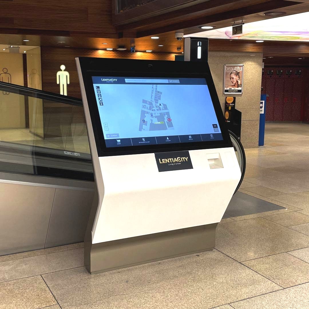
Before partnering with FRAMR., PlusCity received many inquiries, and fewer visitors were aware of events. Now, visitors can search for stores and products, access information and stay up to date on the latest news (e.g., movie listings and events).
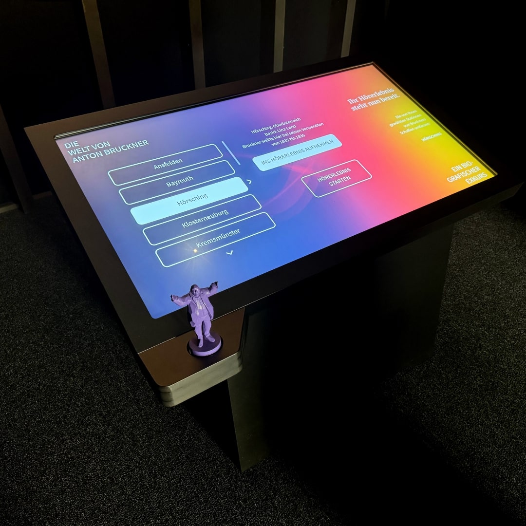
At the Anton Bruckner exhibition, visitors were able to learn about the Austrian composer’s life’s work in an interactive way, as well as play and listen to his musical compositions. This created an immersive experience that left a lasting impression.
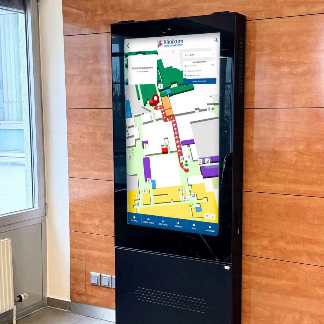
Interactive displays were installed at Wels Hospital to help visitors find their way around on their own. The intuitive guidance system, which provides detailed information and helps visitors navigate, no longer distracts staff from their core duties.
FAQ
Frequently asked questions about our solutions.
Our software is hosted in the cloud to enhance reliability and ensure 24/7 continuous operation. In addition, our digital signage solutions comply with GDPR requirements. You can find more information about that here.
No, both are integrated directly into the FRAMR. Cockpit. No separate license or third-party integration is required. The map is created in the “Map Editor” section, and the Directory module makes it available to visitors.
Yes, data and maps are stored locally. A constant online connection is not required, which makes Directory suitable even for locations with an unstable connection.
Yes. Maps can be used in different modules or copied exactly as they are in the Map Editor — including all layers, areas, POIs and waypoints — and reused for another location or a new marker.
Yes, search and interaction statistics are available in the Cockpit, including search queries that didn’t return any results. Learn more on our Dashboard & Statistics View page.
Yes, the first card is issued and billed by us as a service.
Yes, just like with other FRAMR. modules, you can view the map directly in the Directory module’s Cockpit preview in the browser before it appears on the displays.
Can I integrate existing systems such as a CMS, an inventory management system or an event calendar?
Yes, the FRAMR. data manager allows you to integrate individual external data providers instead of having to maintain the same content twice in Directory.
Generally speaking, the effort involved is minimal. However, for larger renovation projects, the initial effort is bigger because the map must be redrawn. The administrative effort for customers, however, remains manageable.
Yes, the wayfinding system works across campuses with multiple buildings, not just within a single facility.
Would you like a clear assessment of how you can use digital signage?
No sales pitch, just an assessment: What are your goals, what does your current setup look like and what are the challenges? Based on our experience from numerous projects, we’ll tell you — with no obligation — what makes sense for your specific use case.

Lukas Aumair
CEO & sales

Pascal Kreilhuber
Sales

Clemens Stübler
Sales

Michael Thalmann
Sales